
A Neighborhood with a History Behind Its Name
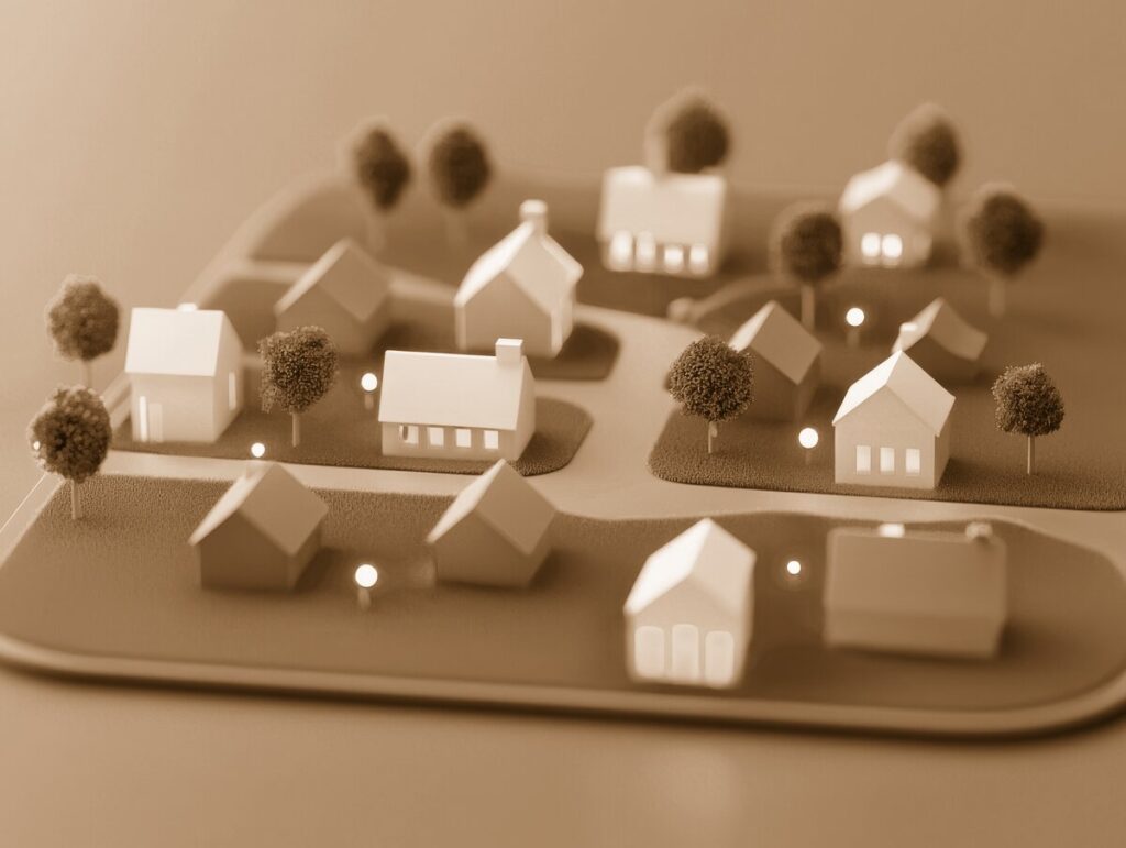
Settlers Reserve is one of those Westlake neighborhoods that feels established rather than newly built. Its mature trees, winding residential streets, cul-de-sacs, and varied home styles give it the comfortable look of a place that has welcomed families for decades. Located between Detroit Road and Hilliard Boulevard, the neighborhood is close to Crocker Road, Crocker Park, Westlake’s parks, schools, and longtime civic landmarks.
Although the homes in Settlers Reserve date primarily from the late twentieth century, the neighborhood’s identity reaches much further back. Its name reflects Westlake’s deepest story: the arrival of New England families who cleared the forests, established farms, built roads, and created the community that was first known as Dover Township.
The precise naming story for the subdivision is not recorded in the same way as Westlake’s official city-name history. However, “Settlers Reserve” clearly fits the city’s long tradition of honoring its pioneers. The neighborhood’s street names—including Settlers Reserve Way, Settlers Reserve Oval, Hunter’s Point Lane, Kingsbrooke Lane, and other nearby roads—give the development a sense of place rooted in Westlake’s early heritage.
Westlake Before Settlers Reserve
Westlake’s beginnings date to October 10, 1810, when families arrived in the Connecticut Western Reserve to establish homesteads. In 1811, Leverett Johnson began clearing land in what is now Westlake. Three years later, he built a log cabin near Porter and Center Ridge roads for his bride, Abigail Cahoon. Johnson later became a township trustee, county commissioner, justice of the peace, and five-term Ohio state legislator.
Other early families included the Cahoons, Porters, Crockers, Halls, Smiths, Sperrys, Taylors, and Clevelands. Their names remain visible throughout the city. Crocker Road and Crocker Park recall the Crocker family, while nearby Hall Road, Taylor’s Mill Run, Sperry’s Forge Trail, Coe’s Post Run, and Hall’s Carriage Path preserve the memory of other pioneer families.
For much of the nineteenth century, this part of the region was rural. Farms, orchards, vineyards, pastureland, mills, and small businesses shaped the landscape. Dover Township became known for agriculture, especially grapes. By the late 1800s, it was one of the country’s leading grape-shipping centers. The arrival of the Nickel Plate Railroad in 1881 helped connect local farms with markets beyond Cuyahoga County.
From Dover Township to Westlake
The community changed names and boundaries several times before Settlers Reserve was developed. Northern residents separated from Dover Township to form Bay Village, while southern residents helped create North Olmsted in 1908. The remaining community became Dover Village in 1911.
In 1940, Dover Village adopted the name Westlake to avoid confusion with another Ohio community called Dover. Residents considered several names, including Westlake, Clague Park, Claguewood, and Park Ridge. Westlake ultimately won a community poll, and the village officially moved forward under its new identity. In 1957, Westlake became a city.
The biggest transformation came after World War II. Westlake’s population grew quickly as farms and open acreage gave way to residential subdivisions, schools, businesses, churches, and public facilities. Interstate 90, completed through the area in 1976, made Westlake more accessible to Cleveland and the wider Westshore region. The city describes the period from the 1960s through the 1990s as a time when Westlake developed from a modest village into a fully established suburban city.
Settlers Reserve emerged during this era of expansion.
The Neighborhood Takes Shape
City records show that Settlers Reserve Way and related streets were accepted for dedication in 1981 as part of the Rockport subdivision development. The records also identify Settlers Reserve streets alongside names such as Taylor’s Mill Turn, Hall’s Carriage Path, and Coe’s Post Run—an unusually strong concentration of historic references in one group of residential roads.
Local real-estate histories describe Settlers Reserve as one of Westlake’s early upscale neighborhoods, with roughly 500 homes built in a variety of styles and sizes. Many properties date from the 1980s, and some early homes show the larger lots, traditional floor plans, and architectural variety associated with that period of suburban development.
Rather than being built as a uniform collection of identical houses, Settlers Reserve developed as a broad neighborhood of colonials, split-levels, two-story homes, and custom additions. Streets such as Settlers Reserve Way and Settlers Reserve Oval form the neighborhood’s best-known addresses, while Hunter’s Point Lane and Kingsbrooke Lane are also identified by the city as part of the Settlers Reserve subdivision.
Over time, those homes have been updated and expanded. Kitchens, family rooms, decks, patios, landscaping, and finished basements have allowed the original houses to adapt to changing family needs. The result is a neighborhood that feels settled without standing still.
Nearby Landmarks That Tell the Larger Story
Settlers Reserve does not contain a preserved nineteenth-century village center, but its surrounding landmarks provide a valuable connection to Westlake’s past.
Just east along Center Ridge Road is Evergreen Cemetery, where Leverett Johnson and Abigail Cahoon are buried. The cemetery contains graves dating to the early 1800s and includes an Ohio Historical Marker recognizing Johnson as Westlake’s first settler.
The Westlake Historical Society’s historic properties also help explain the landscape that came before the subdivision. The Clague House and Clague Cabin reflect the legacy of the Clague family, while the Lilly-Weston House near the Westlake Recreation Center preserves an early nineteenth-century home. Built around 1844, the house later belonged to George Weston and was eventually deeded to the city.
For outdoor recreation, residents are close to Clague Park, Bradley Nature Park, and Recreation Center Park. Clague Park, donated to the city in 1926, includes trails, ball fields, the Westlake Aquatic Center, Peterson Pool, and the historic Clague Cabin. Bradley Nature Park offers a nature trail, sledding hill, playground, and picnic facilities near Bradley Road and Bradley Woods Reservation.
A Neighborhood That Continues to Evolve
Today, Settlers Reserve represents an important chapter in Westlake’s transition from farmland to established suburb. Its residents enjoy convenient access to Crocker Park, shopping, restaurants, Interstate 90, schools, parks, and medical institutions such as St. John Medical Center, while still living among mature trees and familiar residential streets.
The city’s ongoing attention to infrastructure also reflects the neighborhood’s age. Road resurfacing projects and regular maintenance help preserve streets that have served residents since the 1980s.
What makes Settlers Reserve special is the way its present-day character rests on an older foundation. A walk along Settlers Reserve Way or Settlers Reserve Oval may look like a simple suburban stroll, but the neighborhood’s name, street plan, and surrounding landmarks quietly point back to Westlake’s pioneer families. It is a community built during the city’s suburban boom, yet designed with a nod to the settlers who made Westlake possible in the first place.